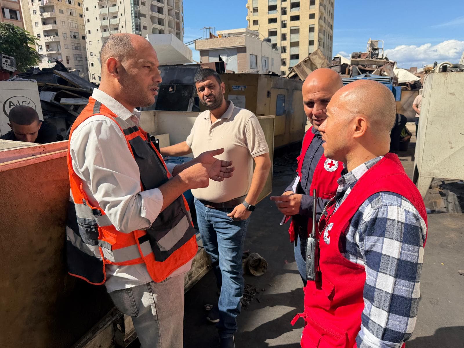
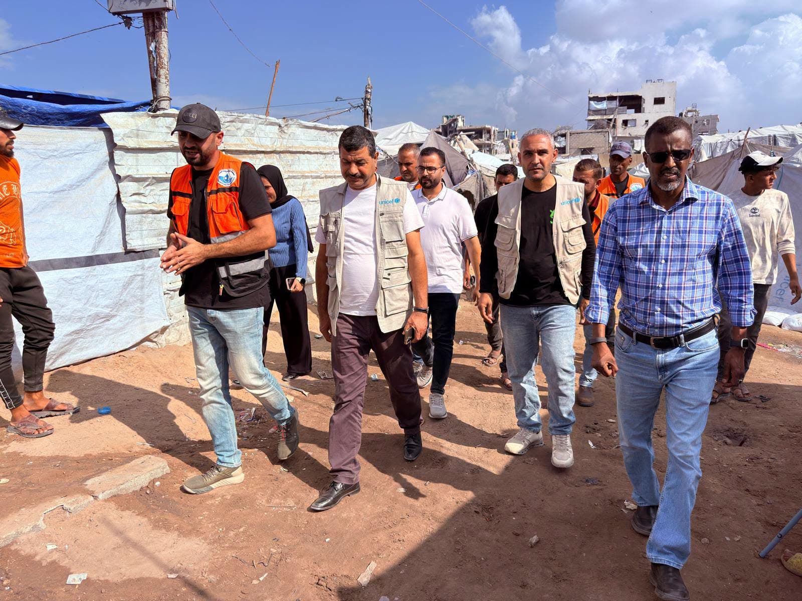
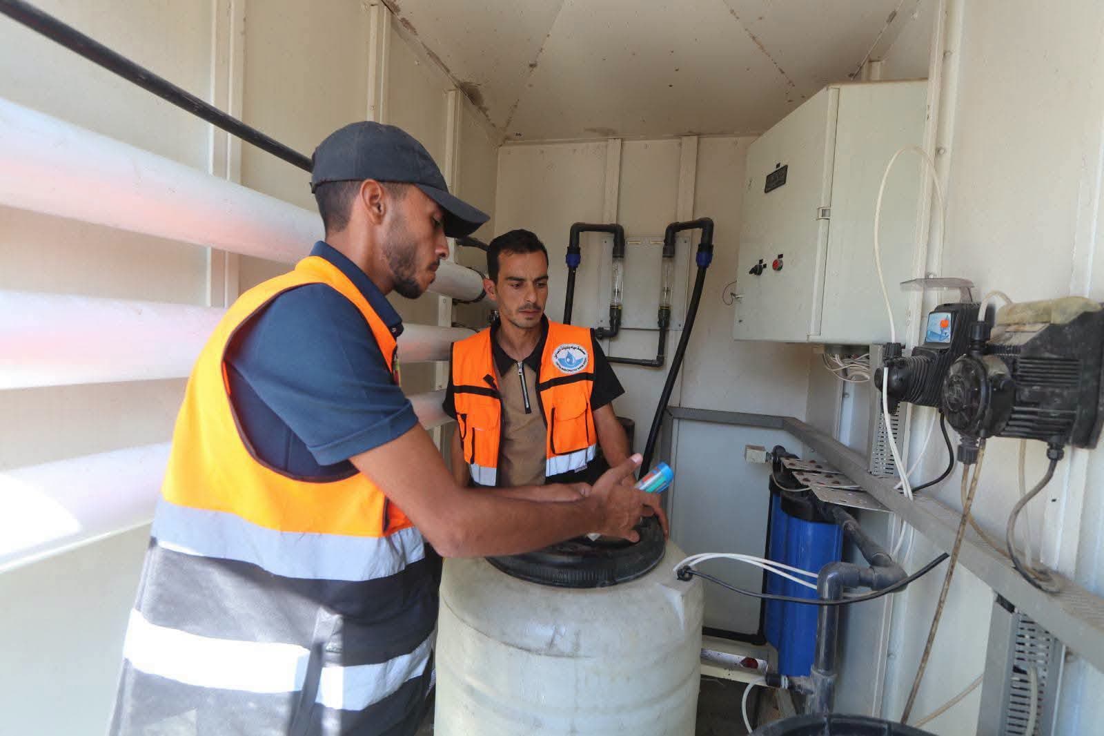
CMWU crews addressed the effects of a storm in south Gaza by opening roads and draining rainwater accumulations around shelter camps and main movement routes.
A glimpse of the interventions by CMWU crews, who continue their field work to address the effects of a storm in various areas of southern Gaza Strip, particularly in shelter camps and their surrounding areas, aiming to ease the suffering of displaced persons and residents, particularly given current conditions, and ensure smooth movement in vital areas.
The interventions included opening and leveling roads and draining rainwater accumulations in a number of areas, most notably:
- The Rafah and Khan Younis Mawasi area.
- Fish Fersh junction, to facilitate the movement of aid through Al-Rasheed Street.
- The Church junction.
- The Ard Oweis Al-Shaer area and Desalination Plant Street.
- The street extending from Al-Iqlimi junction to Fish Fersh junction.
- Ard Al-Dabbas behind Abu Matar Mosque.
- Al-Qadisiya camp opposite the Taiba towers.
- The street opposite Al-Khair Hospital.
- A water accumulation point opposite Al-Qubba Mosque.
- The Al-Attar water collection pond.
- Tiberias Street opposite Al-Majaydah station.
- Opposite the Tiberias desalination plant.
- Al-Imam Al-Dhahabi Street, Al-Attar area.
- Al-Rasheed Street opposite Al-Hilal Hospital.
- Around Al-Aqsa University.
These efforts are part of the emergency response to ease the effects of the storm and improve humanitarian conditions in the affected areas, particularly given the significant pressure on infrastructure and displacement areas.